10 Unmissable Lake District Hikes for your next staycation
If you’re dreaming of the ultimate Lake District staycation, you’re in the right place! Whether you’re a casual stoller or an intrepid mountain conqueror, the Lake District has hikes for every type of adventurer and you have to take at least one hike whilst you’re in this stunning part of the UK. We’ve been visiting the Lake District for years and here are some of our favourite hikes. From low level walks for the cloudy, rainy days to moderate climbs with stunning views.
So here are 10 of our favourites, along with the link to the OS map where you’ll find the hike all planned out or you. Happy Hiking!
Tarn Hows
Black Fell & The Drunken Duck
Stanley Ghyll Force
Grasmere to Rydal Cave
Helm Cragg
Bowness to Hilltop via the ferry
Latterbarrow
Eskdale Valley & Tongue Pot
Cathedral Cave
Cat Bells
Tarn Hows
Distance: 2 miles
Approx Time: 1 hr
Difficulty: Easy
Parking: National Trust car park, £5 (£3 for members)
OS Link: https://explore.osmaps.com/route/24841705/tarn-hows-
Let’s kick things off with one of the most serene walks in the Lakes – Tarn Hows. This peaceful 2-mile circuit is perfect for those after an easy stroll with jaw-dropping views. The path is mostly flat and well-maintained, making it ideal for families, dogs, and anyone wanting a leisurely outing. As you walk around the tarn, you’ll be treated to panoramic views of the surrounding fells, with lush woodland framing the water.
Parking Tip: Arrive early if you want a good spot in the busy National Trust car park. Free parking for members.
Tarn Hows
Black Fell & The Drunken Duck
Distance: 6 miles
Approx Time: 3 hrs 15 mins
Difficulty: Moderate
Parking: Drunken Duck Inn (parking available for customers) or parking by Chesters Cafe (depending on your start point)
OS link: https://explore.osmaps.com/route/23959553/drunken-duck-black-fell-
If you fancy a walk that ends with a rewarding pint, Black Fell is the one for you! Starting from the iconic Drunken Duck Inn, this 6-mile route is perfect for a mid-length, moderately challenging hike. The path takes you up to Black Fell, offering sweeping views of the Langdale Pikes and the surrounding valleys. It’s a bit of a climb, but the steady ascent is definitely worth it for the panoramic views. The trail is well-marked, with some rocky bits, and it feels a little like you're discovering hidden corners of the Lakes along the way. After your hike, swing by the Drunken Duck for a well-earned drink, trust us, it tastes so much better after that climb!
Parking Tip: You can park at the Drunken Duck Inn, but make sure you grab a post-hike pint or food to say thanks for the spot
Black Fell
Stanley Ghyll Force
Distance: 3 miles
Approx Time: 1 hr 30 mins
Difficulty: Easy
Parking: Parking at Dalegarth Train Station
OS Link: https://explore.osmaps.com/route/24841778/stanley-force-eskdale-circular-
Looking for a quick and easy trail with a splash of excitement? Stanley Ghyll Force offers a 3 mile walk that leads you to a beautiful waterfall tucked away in the heart of Eskdale. The path is relatively easy, with a few gentle ascents and some lovely forest paths. The highlight, of course, is Stanley Ghyll Force itself—an impressive, cascading waterfall that’s especially beautiful after a bit of rain and with an impressive, if not a bit scary viewing platform.
Parking Tip: Paid parking at Dalegarth Station
Grasmere to Rydal Cave
Distance: 5 miles
Approx Time: 2 hrs
Difficulty: Moderate
Parking: National Trust car park in Grasmere (£5, free for members)
OS Link: https://explore.osmaps.com/route/24841642/rydal-cave-grasmere-circular
A combination of lakeside beauty and dramatic cave exploration, this Grasmere to Rydal Cave walk has it all. Starting from Grasmere, you’ll stroll alongside the lake, taking in tranquil waters and surrounding fells. The path is easygoing at first, but as you head towards Rydal Cave, the terrain becomes a bit more rugged. The cave itself is a cool, atmospheric spot, perfect for a little photo op or a rest before heading back.
Parking Tip: There’s a National Trust car park in Grasmere, and it’s the best place to leave your car. Free parking for NT members!
Helm Crag
Distance: 5 miles
Approx Time: 3 hrs
Difficulty: Moderate to Hard
Parking: Paid parking in Grasmere
OS Link: https://explore.osmaps.com/route/24315058/helm-cragg-circular-
If you’re after a bit of a challenge, Helms Crag offers a rewarding 5-mile hike with some impressive views. The climb is a bit steeper, so be prepared for some thigh-burning ascents, but the effort pays off when you reach the top. From the summit, you’ll have amazing views of the Rothay Valley, Grasmere, and the surrounding mountains. The path is rocky, and there are a few scrambly bits, but nothing too extreme. It’s a great hike if you want to stretch your legs without taking on a full-on mountain.
Parking Tip: Park in paid car park in Grasmere.
Bowness to Hilltop (via the Ferry Ride)
Distance: 7 miles
Approx Time: 3 hrs
Difficulty: Easy to Moderate
Parking: Pay-and-display car park in Bowness
OS Link: https://explore.osmaps.com/route/24841686/windermere-hill-top-bownss
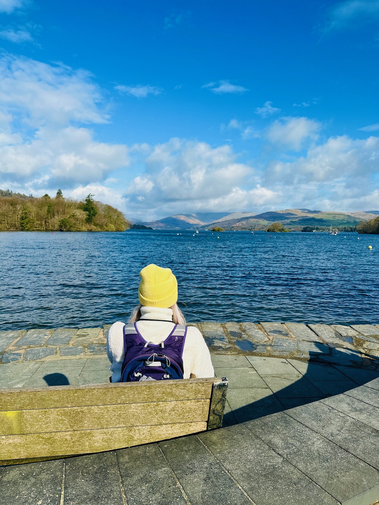
If you’re a fan of Beatrix Potter, this scenic walk will feel like a charming step into one of her stories. Starting in Bowness, walk along the shores of Windermere before hopping on the ferry across Windermere to the opposite shore. From there, it's a 1.5-mile walk to Hilltop, Beatrix Potter’s beloved home. The path takes you through woodlands and meadows, with stunning views of the lake and fells along the way. At Hilltop, you can explore the house and garden where many of Potter’s characters were born. It’s a lovely combination of nature, history, and literary magic.
Parking Tip: There’s a pay-and-display car park in Bowness
Latterbarrow
Distance: 3 miles
Approx Time: 1 hr 45 mins
Difficulty: Easy to Moderate
Parking: large paid car park in Hawkshead
OS Link: https://explore.osmaps.com/route/17334491/hawkshead-latterbarrow-view-point-circular
If you want a peaceful hike with a little bit of elevation, Latterbarrow offers just the right balance. This 3-mile walk takes you to the summit of a small peak, where you’re rewarded with stunning views of Windermere, Sawrey, and the surrounding hills. The path is easy at first but gets a little steeper as you ascend. The best part? The top is usually quieter than the more popular trails, so you can enjoy the solitude and beauty without the crowds.
Parking Tip: Large carpark in Hawkshead
Eskdale Valley and Tongue Pot
Distance: 7 miles
Approx Time: 3 hrs
Difficulty: Easy/Moderate
Parking: Free parking at Eskdale Green
OS Link: https://explore.osmaps.com/route/21223787/tongue-pot-valley-walk-
For those craving a full day of adventure, Eskdale Valley and Tongue Pot provide a stunning route with a variety of terrain. The valley itself is lush and picturesque, with towering fells and babbling streams all around. As you head towards Tongue Pot, you’ll experience some rugged terrain, but the waterfalls and rock pools make it all worthwhile. The valley is a bit off the beaten path, so it’s a great option if you’re looking for a quieter spot and a perfect spot for wild swimming and cold water dip.
Parking Tip: Park for free at Eskdale Green and start your hike from there.
Cathedral Cave
Distance: 7 miles
Approx Time: 2 hrs 30 mins
Difficulty: Easy
Parking: Parking available at Chesters and a small paid car park at starting point of map.
OS Link: https://explore.osmaps.com/route/24841889/cathedral-cave-circular-
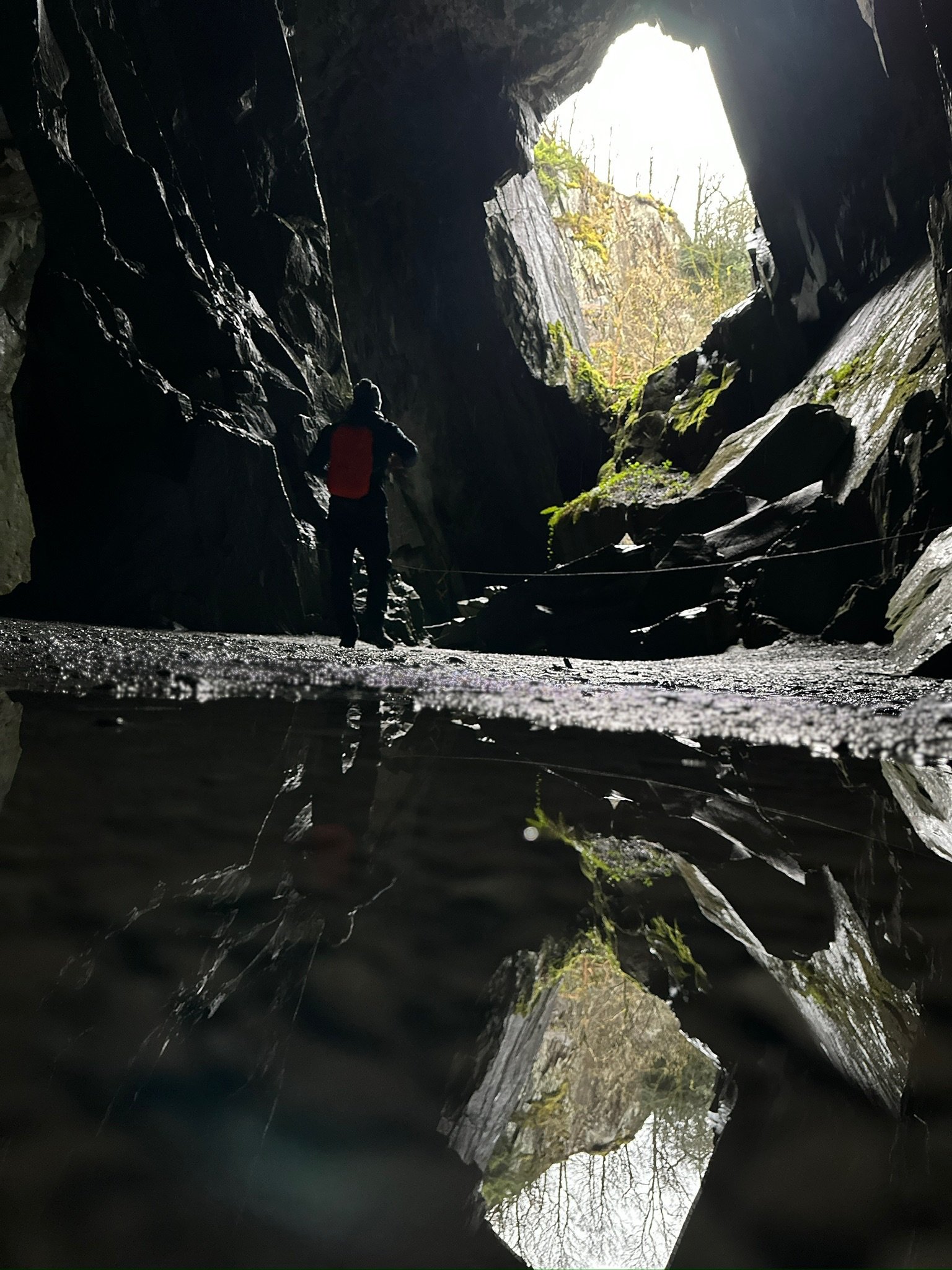
Last but certainly not least, Cathedral Cave is a unique and relatively short hike that’s totally worth the visit. The walk takes you through some stunning scenery, woodland and riverside terrain, before leading you to the cave. As the name suggests, Cathedral Cave has an awe-inspiring vaulted roof.
Parking Tip: Parking available here.
Catbells
Distance: 4.5 miles
Approx Time: 2 hrs 45 mins s
Difficulty: Moderate
Parking: Pay-and-display car park at Derwentwater
OS Link: https://explore.osmaps.com/route/18677278/cat-bells-and-derwant-water
No Lake District hiking list is complete without a mention of Catbells. This iconic peak is a must-do for anyone visiting the area, and for good reason. At 1,480 feet, it’s not the highest mountain, but what it lacks in height it makes up for in stunning views. The 4.5-mile route is a relatively moderate climb, with a bit of rocky scrambling towards the top, but nothing too strenuous. The path is well-maintained and clearly marked, and as you ascend, you’ll be treated to panoramic views of Derwentwater, Keswick, and the surrounding fells. The summit is a fantastic spot to take in the scenery and snap some photos. It's one of those classic hikes that makes you feel like you're on top of the world without requiring the fitness level of an Olympic athlete.
Parking Tip: The Derwentwater car park in Keswick has a pay-and-display system, and it's the most convenient spot to start your hike. Get there early, as it can fill up quickly, especially during peak season.
The Lake District is full of stunning hikes, whether you’re after a relaxing lakeside wander or a serious mountain challenge. From peaceful tarns and hidden caves to breathtaking peaks and historical landmarks, there’s something here for every kind of adventurer. So pack your boots, grab your map, and get ready to explore this magical part of the world—your perfect staycation awaits!


